Saturday, April 26, 2014

Halifax RIver


An 8am start and we are off to Palm Coast. We had a very hazy morning. It was slow speed and we were among 8 boats heading out. It looked like a boat parade. All but 2 were heading to the ocean at Ponce Inlet, while we picked up the ICW and the Halifax River.

The 175 ft Ponce Inlet lighthouse seen through the morning haze (tallest lighthouse in Florida).
We went by South Daytona viewing some paddleboarders and then proceeded under the 4 bridges in Daytona.
Passed by an old Navy tug . . . . which someone made into a home.

We also caught an homeowners association meeting in progress.


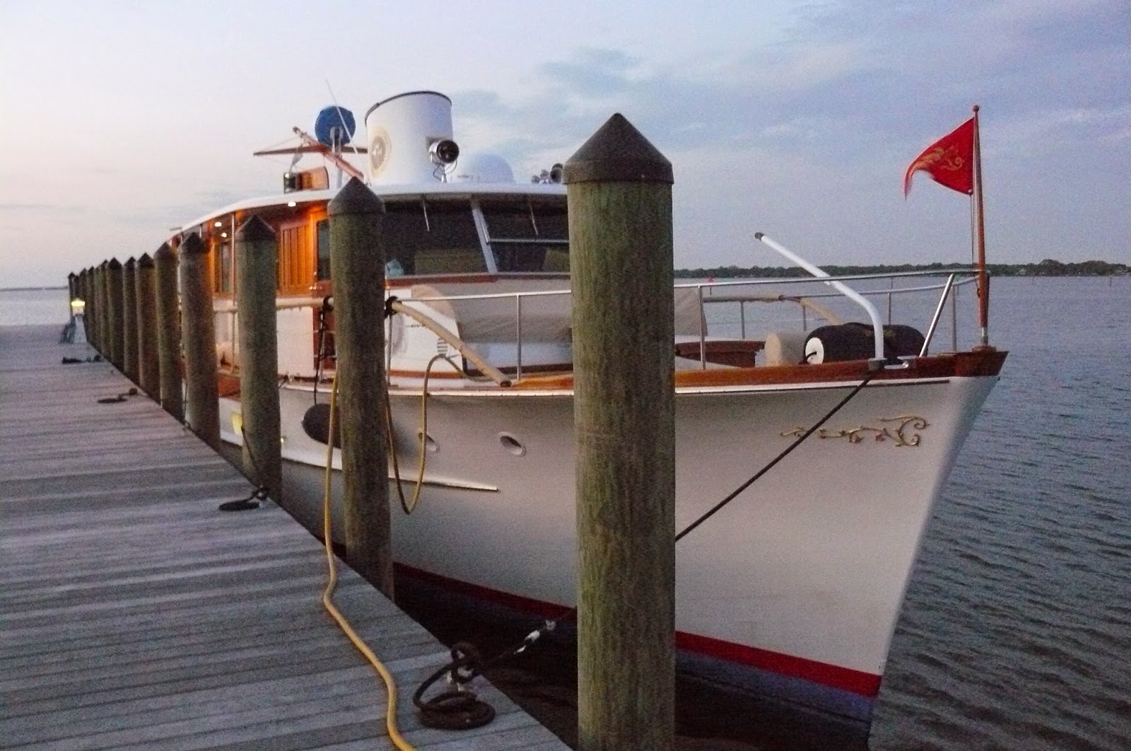
We left the marshes and tidal creeks of the Tomoka basin. We requested to have the Knox drawbridge opened, leaving the headwaters of the Halifax river and entering the canal. The canal took us pass Flagler Beach.

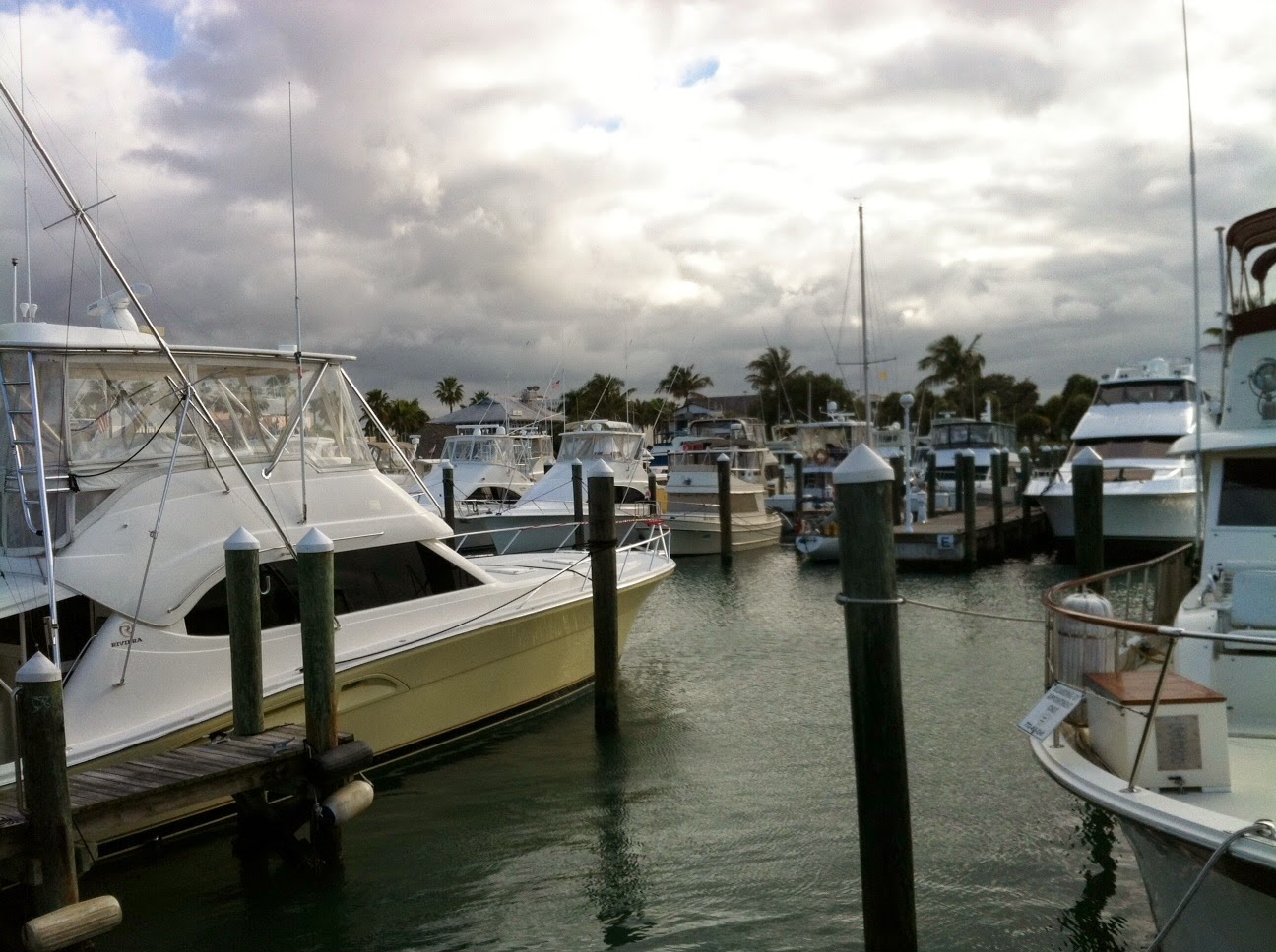
We reached Palm Coast Marina at 1:45. We were low on fuel so we first went to the fuel dock. As we were turning in, a guy in a skiff came in apparently not even seeing us. He must have been in a hurry to fish because he took off without getting back his credit card.

Palm Coast is a large planned community that is accessible by 3 canals. There are wide sidewalks shared by walkers, runners and cyclists.  We walked to the European Village town center. It has several restaurants and we dined at Burrito101  http://burrito101pc.com/

Friday, April 25, 2014

Sometimes it pays to be small


We recently read that an average 100 boats complete the Loop each year.
Wednesday we got our latest start, not leaving the marina until 8:30. We were in no hurry as today we had a shorter route, scheduled to cover 45½ miles. Last night we changed our destination from Daytona to New Smryna Beach.
The past 2 days we had the wind behind us, today it was against us and the water was choppy. I wouldn't mind getting a ride the airboat that sped passed us this morning.


At 10 am we passed another Camano (our boat make) that was heading southbound. It was the “Knot Busy”. It was the second one we have seen on the trip. The other was on the gulf coast and it was heading north. On that one the dinghy on the back blocked the name. Knot Busy had the name on the side of the bow.
Speaking of dinghies – right before we were to depart our original dinghy did not work out and we were going to have to use a kayak but thanks to Pete W. for loaning us his for this trip. Many thanks Pete! Also thanks to Paul D. for helping with each dinghy.


When we approached the Haulover canal, a sailboat and a large boat where on either end. On the radio it was broadcast that the drawbridge could not open due to mechanical problems. It pays to have the small boat - we could fit underneath. The others had to drop anchor and just wait.
 
Once through the canal we entered Mosquito Lagoon. The water was calm and contrary to its name we didn’t see any mosquitos. Although I’m sure they might be present on the many islands. It's a beautiful place and the photo can’t do it justice. 
 
Someone liked it so much they took up residence.

We traveled through the lagoon for an hour and then picked up the river. An osprey took up residence, having made a nest on a house.
 
Caught this picture and wondered - was he kicked out; taking a smoke break; or is it a guest bedroom?
 

We arrived at the New Smyrna Beach Marina about 3pm. That evening we walked into the downtown and checked out the shops along Canal St. We ate dinner at Panheads Pizzeria  http://panheadspizzeria.com/  and had a great meal.

Wednesday, April 23, 2014

Northbound on Indian River


We couldn’t leave the "Sunrise City" without catching the sunrise.

It was pretty quiet at that time in the morning but we were joined by some feathered friends.
 
We didn’t leave the Ft. Pierce marina until 8am as we had to get fuel and a pump-out. We headed back out to the Indian River heading north. The water was calm.

It's not like I 95 but even on the water you'll find billboards.

 
                            and graffiti

At 11am the winds picked up but and there was a light chop. We passed Melbourne at 1:25. We were docked and hooked up to electricity by 4pm at the Cocoa Village Marina. We covered 68.3 miles.
The marina had very nice facilities. We came across another vintage ship named, "Chesapeake" but didn't find any information on her.


We enjoyed taking a walk into the village and having dinner at Murdoch’s Southern Bistro.
It was a nice evening and the sun was going down when we got back to the marina.
 
Time to call it a night and turn out the lights.
 

Monday, April 21, 2014

Etc.


Yesterday somewhere after the St. Lucie canal but before Stuart we came across a boatyard/marina that had a boat that immediately caught my eye. I took 2 quick photos as we passed on by.


Of course I had to look her up. Aphrodite is a 1937 Commuter Yacht that was used by a Wall Street financier to commute the Long Island Sound to Manhattan. By the 70s, the yacht was in disrepair. She was restored in 2004-5 at the Brooklin Boat Yard in Maine.
Here’s info on her interesting history (she was commissioned after the Pearl Harbor attack as a Coast Guard auxiliary vessel). http://www.brooklinboatyard.com/aphrodite.html

Also open the link to a video from OffCenterHarbor.com so you can take her for a spin. http://www.offcenterharbor.com/yachting/

Ft. Pierce calls itself “The Sunrise City”. The city marina is in the downtown and is next to Gazebo Park and the Public library. They have a very nice public waterfront with a lot of benches for viewing the water, or the sunrise.


    Gazebo Park
Today was sunny but very windy. We're taking advantage of being here an extra day to do laundry. Also got to stretch our legs and walk all over town. If you are ever in Ft. Pierce go to Brewer’s CafĂ© for lunch. It is family run and have excellent food and hospitality.
Steve was able to take time to do some engine maintenance. We walked to the local ACE Hardware and Steve “MacGyvered” a quick fix to replace the air filter in the boat.


East Coast bound


We left Indiantown Marina at 7:45 and got back out on the canal and the Okeechobee Waterway. It was a cloudy and overcast morning.

We reached the St. Lucie lock at 9:25. We were there for a ½ hour or more on account of the large amount of water needed to fill up the lock before we could enter. We were dropping from lake level to sea level. Again we were the only boat in the lock. We were lowered over 13 feet. When we exited were 9 miles to Stuart and 15 miles to the ICW (Intracoastal Waterway).

                                          Going into the lock. . . .
                                          and looking back at the lock after we exited

The sign shows all the locks we have been through on the Okeechobee waterway.
At 10:55 we were at Stuart and needed the drawbridge opened. It was still gray skies and breezy.

Near an hour later we picked up the ICW. We had reached the east coast and were heading north on the Indian River. The water was rough. The wind was strong and the open bimini top on the fly bridge acted as a sail, enough to increase our speed by 1 1/2 knots.  We arrived at the Fort Pierce City Marina at 2:30pm. Our small boat was nestled in among the big boys.


                                 Can you spot our boat?
For the next day our plan was to go 68½ miles to our next stop in Cocoa. The weather forecast had a small craft advisory with 15-20 mph winds and a choppy ICW. We did not want those conditions for a 8 hour trip so we decide to stay put another day.

Saturday, April 19, 2014

Fasten your seatbelts . . .

The boat beside us was a beautiful 1965 classic 75ft motor yacht. It was the “America” from Sag Harbor, NY. I was curious about it so I looked it up and learned it is a charter and winters in Palm Beach. Check out the link: http://www.vintageyachtingclub.com/america  If you are interested in it, it’s a mere $5,500.00 a day and that’s if you’re a member.

Today at 4:30am we awoke to a heavy duty thunderstorm.  It sounded as if we were inside a car going through a car wash. The storm lasted over an hour.

We left the Roland Martin Marina in Clewiston at 7:45am. As we went out the canal we were surrounded by dragonflies. We finally entered the lake.

Quick Lake facts: Okeechobee means “big water”. It’s the 7th largest freshwater lake in the U.S. It’s extremely shallow. The lake’s depth averages 10ft and that’s considered normal. The past couple of years it has hit record lows. In 2008 when portions of the lake bed where exposed above the water line, the bed dried out and caught fire. Seriously, the lake was on fire.

At the 2 mile marker, there was a large concrete tank(?) of some kind. I don’t know what it is but the pelicans got use out of it.


It was relatively calm when we set out. It was around 9am when the waves kicked up considerably to a moderate chop of 3-5 ft swells with white caps. At that time we were around the halfway point of the lake crossing.  We were rocking quite a bit, and at 7 1/2 knots (8mph) we weren’t exactly slicing through them. All I could think of was a limerick which I re-did:

There was a retired couple on a ship
Who counted each pitch and each dip
Each roll and each yaw,
Each sea and each saw
On their Lake Okeechobee crossing trip.

We were happy to reach the Port Mayaca lock and enter the calm water of the St. Lucie canal at 11:00.


We took the canal to the Indiantown marina arriving around 12:20 and were warmly welcomed by some lovebugs at the fueling dock.  We traveled 34 miles today; tomorrow it’s on to Fort Pierce.


Here we are settled in at the end of the floating dock.


Friday, April 18, 2014

Okeechobee Waterway


Today we set out from Ft. Myers heading east on the Caloosahatchee river which also is the Okeechobee Waterway. We left the marina at 7:35am. It was the first time that we operated the boat from in the cabin. We had always been up on the flybridge but there was rain in the forecast. We went through the first of 3 locks around 9:45. It was the Franklin lock and we were the only boat in it. Other boats left behind stickers marking that they were there.


Later on we had to contact the Fort Denaud bridge master so he could open up the swing bridge, it only had a 9ft clearance.

The 2nd lock was Ortona and this time we were behind a larger boat, Linda Jane, that had past us earlier.

We were out in rural country with just some cows grazing.

The 3rd lock was at Moore Haven and again we were the only boat. The lovebugs were out here and swarming the boat.


On a map, at the point it looks like we are in Lake Oceechobee but we were actually in a desolate rim canal that continued on for 10 miles until our overnight stop in Clewiston. I cannot emphasize how uninteresting this stretch was as there was nothing there.  It's the photo taken from inside the cabin and you can see the rock wall bordering the shore. It's all we saw for miles and miles.


It never rained and actually got very warm to 88 degrees. We arrived at the marina in Clewiston at 4:55pm. It was a long day and we covered 60 miles. It was our 2nd longest leg with the 1st day on the gulf as the longest at 84 miles. At 5:30 the rains came and it was a heavy downpour that continued for an hour.

We are surrounded by very large boats compared to our 31 ft. We're at a floating dock that runs along side a narrow canal. Ahead of us is a 45 ft boat, behind us is a 72 ft and behind that is a 65 ft yacht shown below.


The marina is with an RV park and beside the dock is a large Tiki Bar where a band is scheduled to perform tonight.